How Drones Help Inspect Hard-to-Reach Infrastructure
How Drones Help Inspect Hard-to-Reach Infrastructure
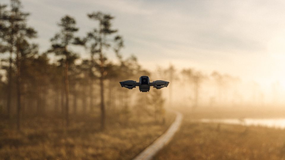
Aerial photographs can document roofs, bridges and towers before a crew decides where a closer inspection is needed.
A drone can follow a planned route and capture detailed views from multiple angles. Repeating the route lets teams compare visible changes over time.
Wind, reflections and blind spots still constrain what the camera can show. A photograph may flag a suspect area while leaving the depth or cause of the damage uncertain.
Use consistent naming and a map of image positions so a reviewer can find the same location again. Physical inspection remains part of resolving issues the images cannot characterize.