Drone Mapping Gets Its Detail From Overlapping Photographs
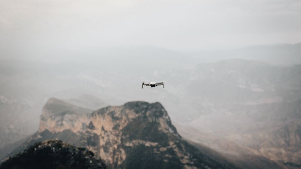
Drone Mapping Gets Its Detail From Overlapping Photographs
A survey flight collects many views of the same ground so software can reconstruct terrain and objects.
Photogrammetry finds features shared by neighboring photographs, estimates camera positions and builds a map or three-dimensional model. Overlap helps when surfaces have few distinctive features.
Water, glass and vegetation moving in wind can introduce gaps or errors. Flight altitude and camera angle affect the level of detail and how well tall features are captured.
Known points on the ground give teams a way to check scale and position. A finished map should include its measured accuracy alongside the images.